The Sea is the medium that allowed people to travel from one continent to another using vessels and even today despite the use of aircraft. It has been acting also as a great reservoir and source of foods for all living beings. However, for many generations it served as a landfill for depositing conventional and nuclear wastes, especially in its deep seabeds and there is a race to exploit minerals and resources, different from foods, encompassed in it. Its heath is a very challenge for the survival of all humanity since it is one the most important environmental components targeted by the global warming: Tsunami and El Niño are consequences and indicators of bad development. As everyone may know, measuring is a step that allows major knowledge of a phenomenon or an asset. That is why METROSEA will serve as a forum for presenting recent advances in the field of measurement and instrumentation to be applied for the increasing of our knowledge for protecting and preserving the Sea.
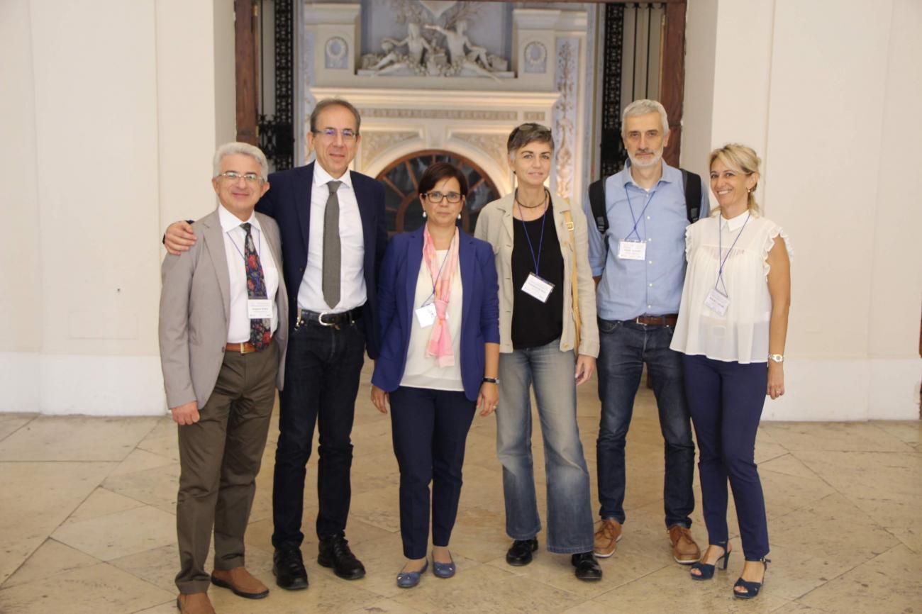
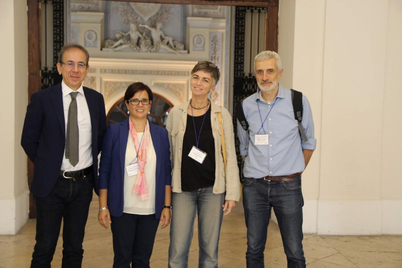
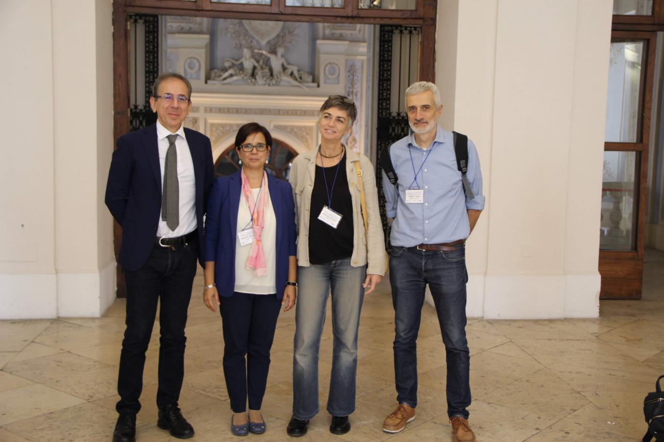
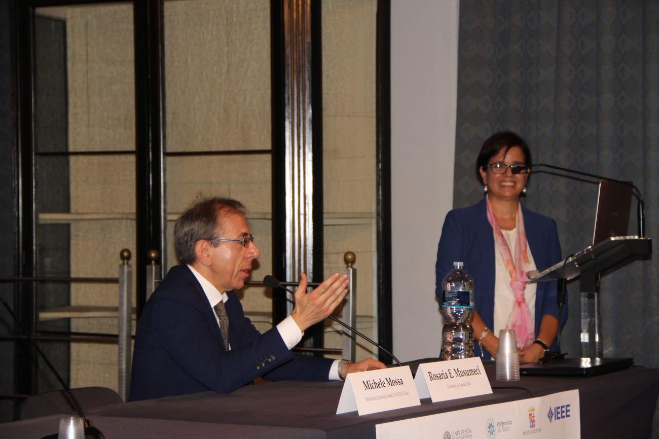
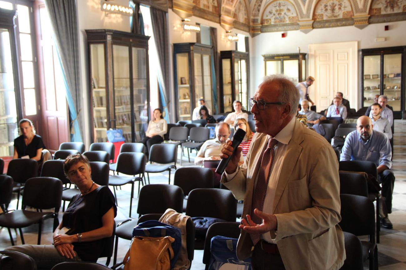
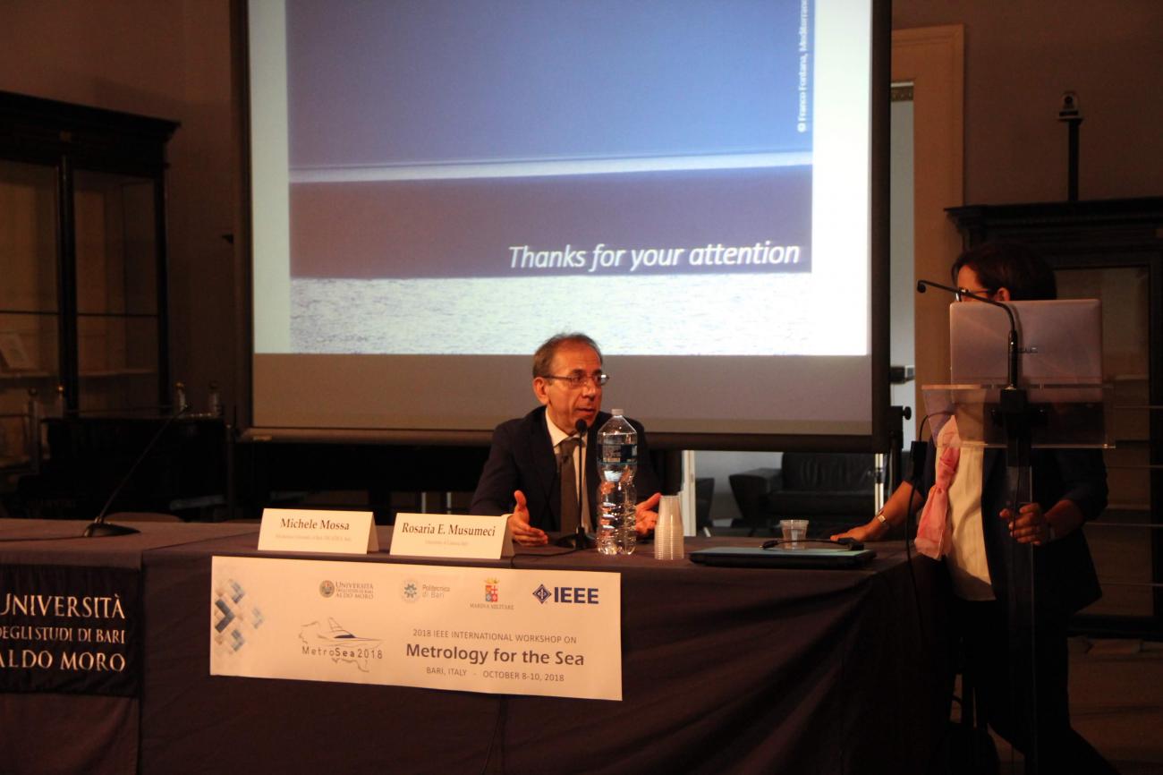
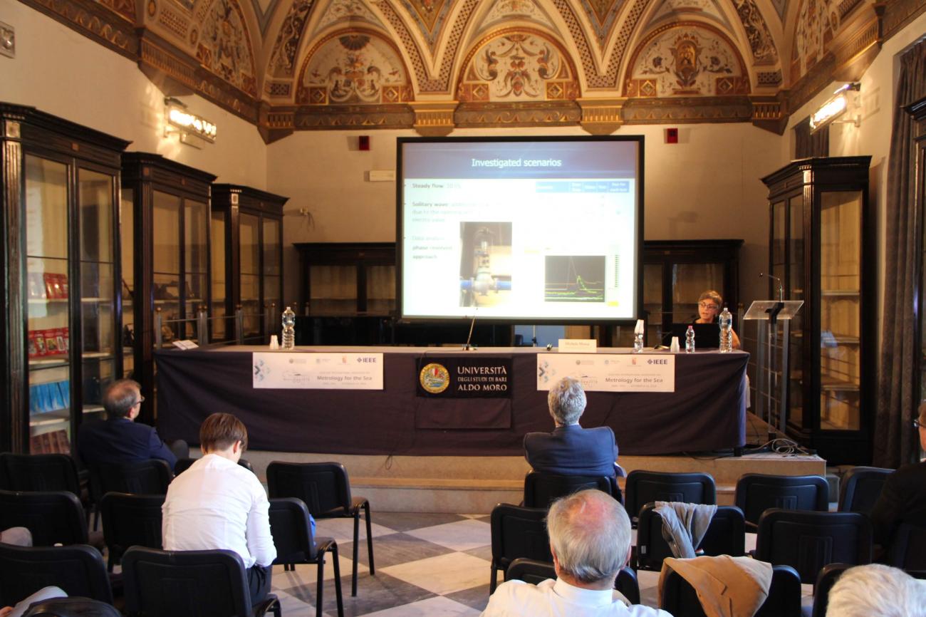
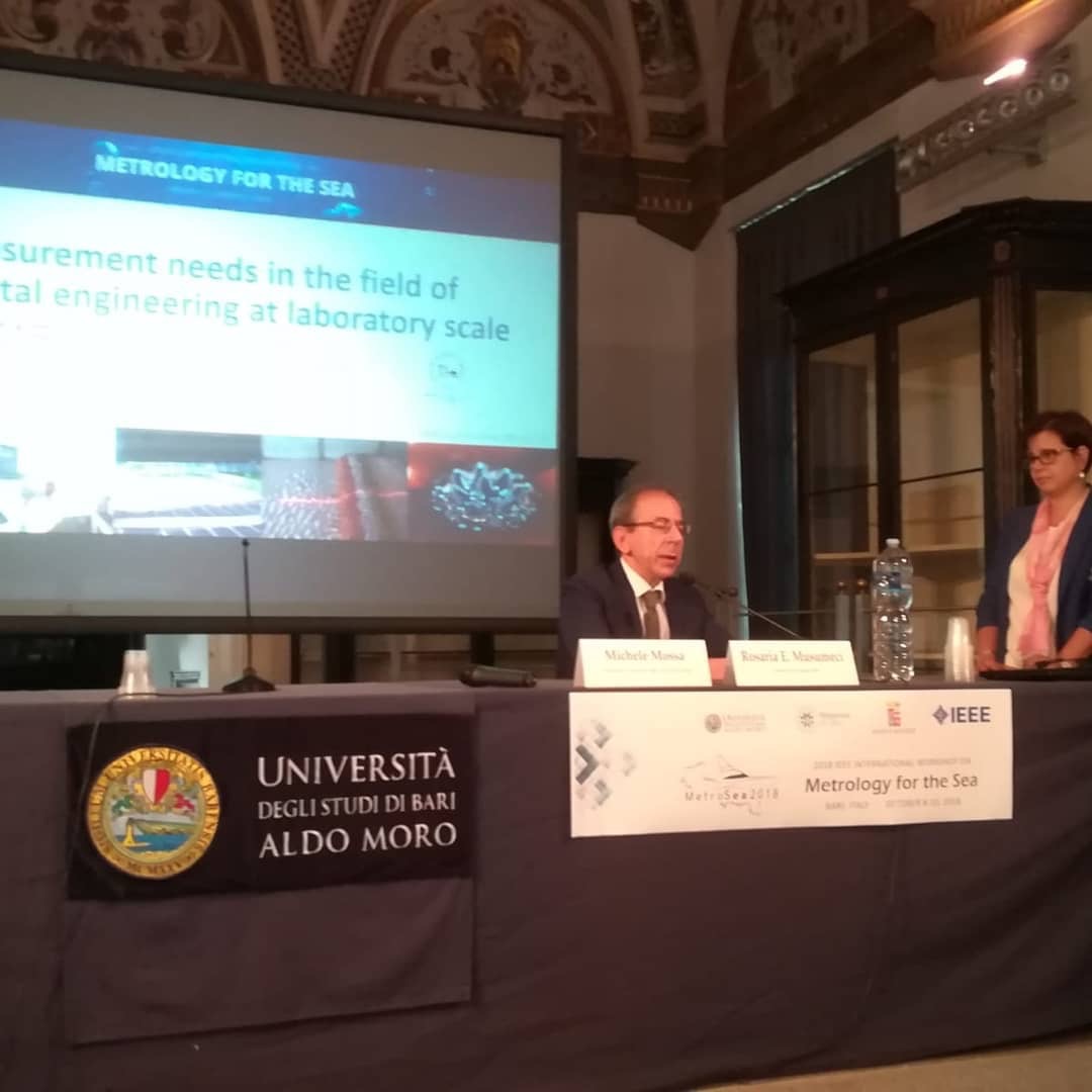
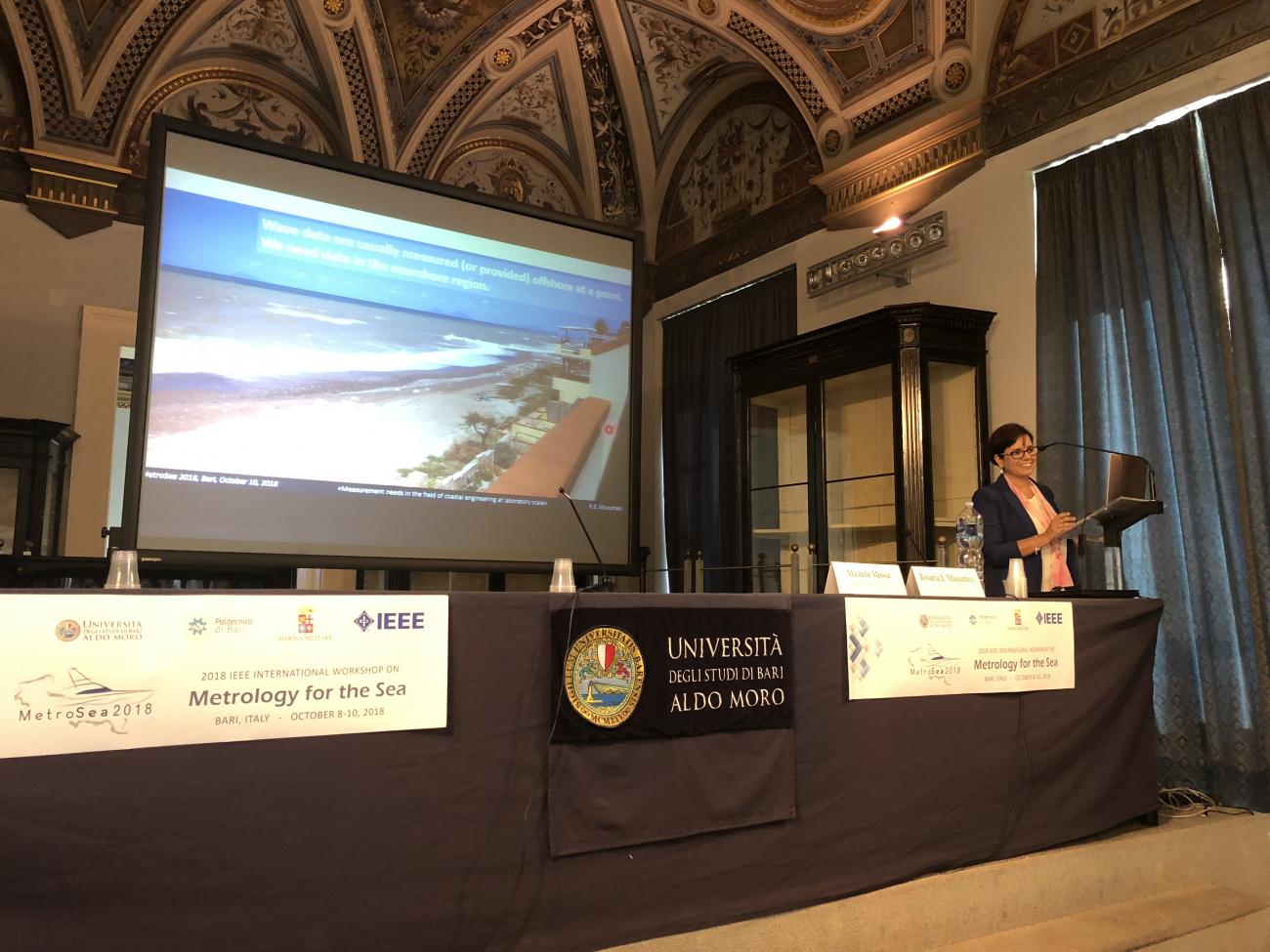
Special Session #6: Measurements in riverine, estuarine and coastal areasorganized by Lorenzo Cappietti and Michele Mossa
In recent years there has been an explosion of new techniques for laboratory and field measurements in hydro-environmental and maritime engineering and research. These techniques include terrestrial and airborne laser scanning of morphology at grain-scale resolution over large spatial domains, acoustic measurements of complete 3D flow fields and sediments transport at both laboratory and field scale, and high resolved quantification of 3D turbulent coherent structures using 3D time-resolved Particle Image Velocimetry (PIV) techniques. The data produced by such new techniques offer unprecedent opportunity to understand hydraulic phenomena, both in the observations themselves, and for development, calibration and validation of sophisticated numerical models. In fact, the synergic use of field measurements in conjunction with numerical modelling constitutes one of the most powerful tools on the hands of scientists for deepening the knowledge of nature.
The use of satellites is of also great interest. For example, COSMO-SkyMed, a Space-Earth Observation Dual Use System, is devoted to providing products/services for the following purposes: a) environmental monitoring and surveillance applications for the management of exogenous, endogenous and anthropogenic risks; b) provision of commercial products and services.
In the spirit of the proposed session, the aim is:
- Strengthening the linkage among the hydraulic community that works on rivers, estuaries and coasts, focusing on different approaches (observational, experimental, modelling);
- Exploring how the mixing process of turbulent flows is addressed by nearby disciplines (ecology, sedimentology, forestry, climate sciences, remote sensing);
- Providing a platform for scientific discussion.


